Infrapedia
The challenge
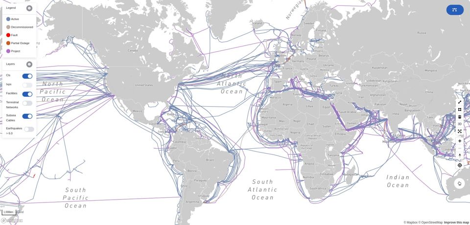
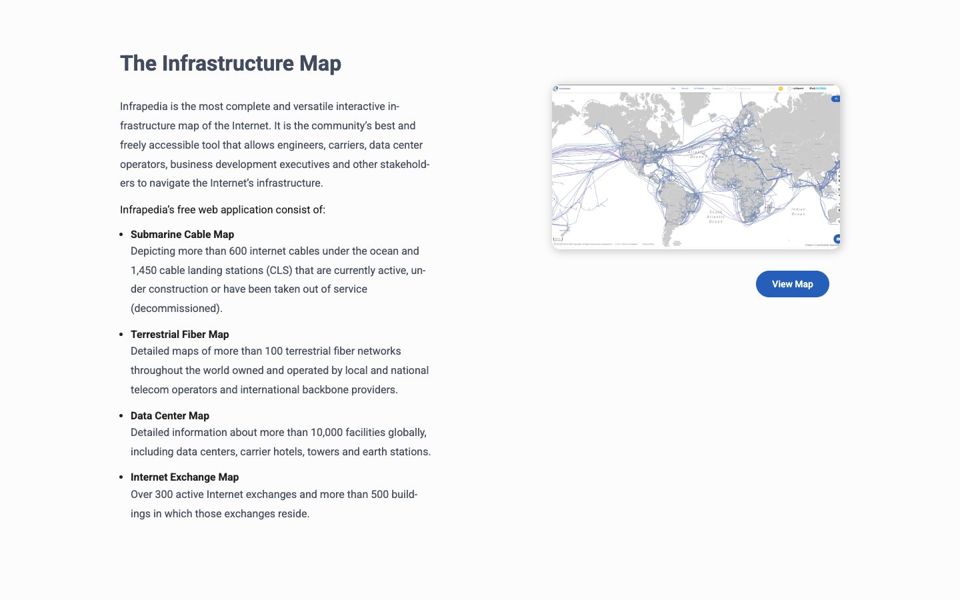
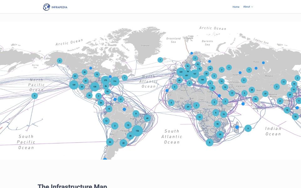
Network engineers, network operations teams, and telecom business development professionals needed a single map of the internet’s physical backbone: undersea cables, land-based fiber, datacenters, and internet exchange points.
My role
Frontend developer at Infrapedia Inc. (2019–2022), with full ownership of the user-facing application. With no design team, I handled the interface, user experience, and visual design, as well as the architecture and development. I worked with the backend developer to agree on how data moved between systems, and reported to a product owner in Germany. All meetings, planning, and communication were in English.
Constraints
- No designer. Every interface and visual decision was mine to make.
- Heavy data, everyday devices. The map had to stay smooth with thousands of detailed data points on phones and mid-range laptops, not just high-end machines.
- Distributed team. I shared technical agreements with a backend developer and collaborated across time zones.
Key decisions
- Built the interactive map from scratch, with separate layers for undersea cables, land fiber, datacenters, and exchange points, plus search and a detail view for every asset.
- Built in-map editing tools so users can draw, update, and manage cable routes, networks, and facilities themselves, without needing a developer.
- Tuned performance so dense data stays fast and usable on the devices people actually carry.
- Designed for professionals, keeping a complex technical dataset clear and easy to navigate.
Results
Shipped a production mapping platform used by network operators around the world. The editing tools let the dataset grow without developer involvement, and the performance work made the map practical on everyday hardware. I owned the frontend end to end within a distributed, English-speaking team.
Tech stack
Built with Vue.js, Vuex, Sass, Mapbox GL, and MongoDB.